Supporting Documents
Templates
Escrow Agreement - template (PDF)Letter of Credit - template (PDF)Performance Bond - template (PDF)Maintenance Declaration - private - template (PDF)Maintenance Declaration - private - template (docx)Maintenance Agreement - government - template (PDF)Maintenace Agreement - government - template (docx)Chloride Management Plan - template (PDF)Buffer sign - specifications sheet (PDF)Buffer sign graphic (PDF)Buffer sign graphic with 1/4" bleed (PDF)Buffer sign graphic with printer's marks (PDF)
Worksheets
P8 precipitation and temperature files
Click links below to download files.
- P8 precipitation file: MSP49-20220228.pcp
- P8 temperature file: MSP49-20220228.tem
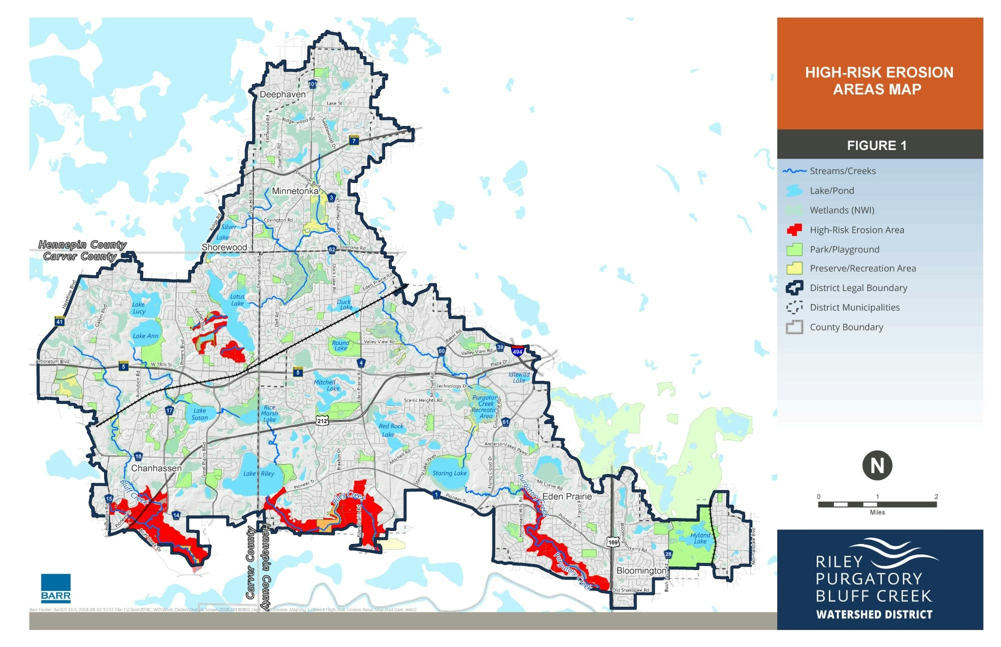
High Risk Erosion Maps
Visit the High Risk Erosion Index Map webpage.